Explore
Evansville
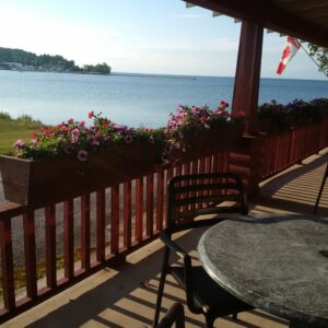
The waters of the North Channel come very close to Highway 540 as its entry to the hamlet of Evansville, the built-up part of the rural municipality of Burpee-Mills.
Evansville stretches out for more than a kilometre from the west end of the Indian Point Bridge that curves elegantly over the entry point to Lake Wolsey from the North Channel.
Lake Wolsey is something of a misnomer. While it is certainly large enough to qualify as a proper lake, it is in fact a large North Channel bay. The nicely curved bridge gives both fishing boats and pleasure boaters the opportunity to travel readily between the two bodies of water and to sample each for its specialty species.
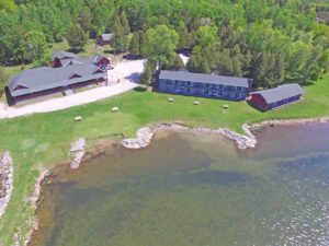
Lake Wolsey sports two tourist establishments, each quite different from the other. Lake Wolsey Cabins is accessed off Highway 540 just before the bridge’s east end. It offers fishing opportunities summer and, through the ice, in the winter.
The other, Lake Wolsey Obejewung Park, it is a large tent and trailer park located on the other side of the lake.
Evansville’s business is GGs Diner, a long orange building with a large dining area.
The surrounding municipality is primarily agricultural and these days there are highway signs alerting motorists to the possibility of horse and buggy traffic for, as in Tehkummah, several Amish families have moved north to Manitoulin and have purchased farms in this municipality.
At the west end of the hamlet, before Highway 540 begins to become a hill, Bell Road meets Highway 540.
Shortly after, a left turn plagues the traveller on Campbell Road which goes on to become Union Road and ends where it junctions with Highway 542. This Bell-Campbell-Union Roads route is pretty much the municipality’s main thoroughfare as it passes by historic churches, schools, the cemetery and much prime farmland. Mid way along this route lies the Poplar crossroads which at one point was the focal point (post office, small store, gasoline sales) for the Mills part of the amalgamated municipality.
In the Evansville area:
Watersedge Pub & Restaurant
Gore Bay Manitoulin Hotel
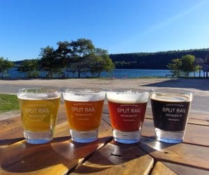
Split Rail Brewery
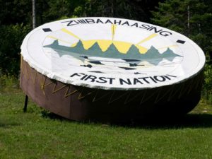
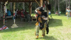
Zhiibaahaasing First Nation Traditional Powwow
Sheshegwaning First Nation Traditional Powwow
Theatre
Golf
Canadian Yacht Charters
North Channel Cruise Lines
Purvis Marine Museum
The Net Shed
Gore Bay Museum
Noble Nature Trail
Sheshegwaning – Nimkee’s Hiking Trail
Misery Bay
Gore Bay Boardwalk Trail
Codmothers
Silver Water Lake
North Channel
Lake Wolsey
Ice Lake
The Inn at Gore Bay
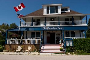
Meldrum Bay Inn
What remains special about Poplar is its war memorial, which was honoured nearly a century ago with the donation of a World War One filed artillery piece. Poplar and Mills Township as a percentage of the population there over a century ago, had the highest number of men who volunteered to serve in the 1914-1918 war of any community in Canada.
But back to Highway 540 and heading west, there are two more interesting features that make Burpee-Mills a special municipality.
The main one is Misery Bay Provincial Park. This is not a typical campground provincial park. It is a nature preserve that is home to a great number of plant species unique not only on Manitoulin but not found elsewhere in Northern Ontario.
Local lore has it that a hermit minded man who had been living in Gore Bay before 1900 found the pace of life there too fast for him so he moved to the south shore of Manitoulin to a place he called Misery Bay and there in isolation.
More importantly, a couple from Chicago purchased the core property in the 1940s, eventually moving to Manitoulin full time and becoming naturalized Canadian citizen.
They were thoughtful people who realized how special their property was and so began the process of moving it into the public trust. It was initially acquired in the late 1970s by the Nature Conservancy of Canada which in turn passed it on to the Ontario Ministry of Natural Resources as a nature reserve. The province purchased blocks of “buffer” lands around the core area and, in the 1990s the Friends of Misery Bay group formed locally and promptly adopted as their mantras ‘Misery loves company’.
The ‘Friends’ group set out to get funding to build trails down to and along the alvar beaches without disturbing the habitat and also to build an interpretive centre where students and volunteers, during the late spring, summer and early fall, meet visitors and talks about Misery Bay’s features. The signage to Misery Bay Provincial Park is well marked.
Burpee-Mills other interesting feature is the pioneer community of Elizabeth Bay, accessible off High 540 via either of two parallel roads: Ainshine Road or Elizabeth Bay Road.

